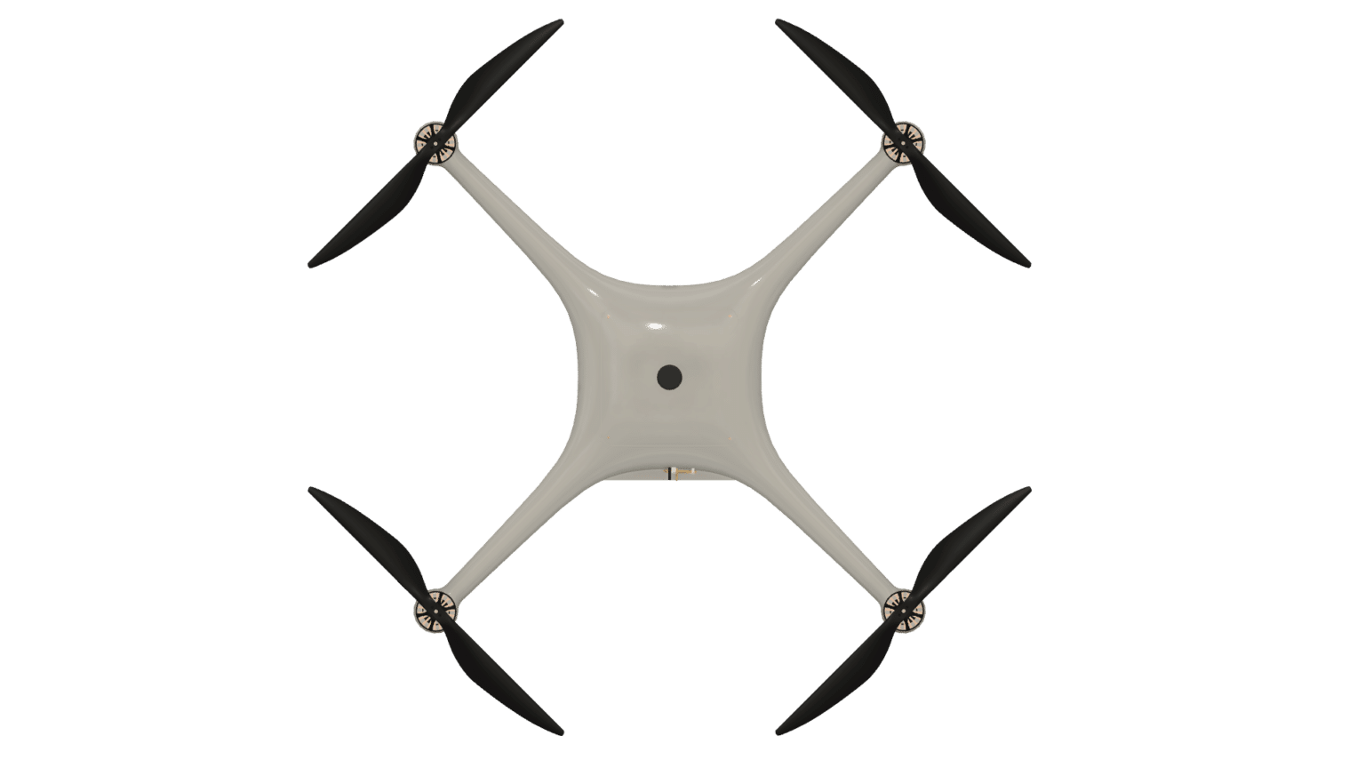
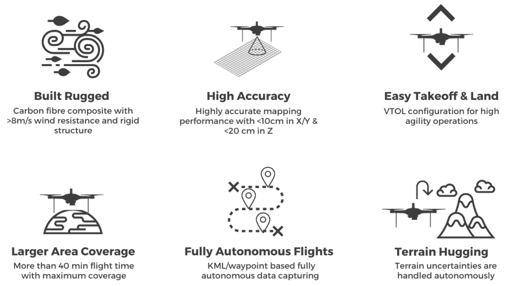
Skip to content

Elementor Landing Page #1768


SNAP-M

Survey Grade Drone for
Aerial Mapping
Aerial Mapping Drone SNAP-M

Proudly Made in
India

Survey of India qualified micro drone for high precision mapping.

Industry-leading flight time with maximum possible area coverage.

Superior mapping accuracy with indigenous dual-frequency RTK/PPK system.

Specifications

Failsafe Features
Endurance40+ min.
Wind Resistance>8m/s
Weight<2kg
Service Ceiling7000 m
BatteryLithium Based (International Standard compliant)
PPK BandsL1 & L2, G1 & G2
GNSS ConstellationsGPS, GLONASS, Galileo
C2 LinkAES 128 Bit Encryption
ComplianceNPNT Compliant (DGCA certification pending)
Flight Specs
Low BatteryReturn to Home
Communication LossReturn to Home
Geofence BreachReturn to Home
Altitude BreachReturn to Home
Mapping Performance
Area Coverage @60m>0.6 sq. km
Accuracy X/Y<10 cm
Accuracy Z<20 cm
GSD @60m1.5 cm

How It Works

SNAP_Execution

Features

SNAP_Features

Applications

Mining Maps
Mining Maps
Construction Management
Railway Inspection
Railway Inspection
Town Planning
Town Planning
Disaster Management
Disaster Assistance
Terrain Mapping
Terrain Mapping
Irrigation Survey
Irrigation Survey
Forest Monitoring
Forest Monitoring

Image Courtesy: Unsplash

Join Hands for the
Future!

Supported By

Contact Us

info@cdspace.in
+91-9455133142

Leave a Reply

Your email address will not be published.