CDSpace Robotics
Mission Ready
Tactical Platforms
Aerial Autonomy. Mission-Ready. Built in India.
SPOT Series · Fixed-Wing VTOL
Strategic unmanned platforms
for mission-critical operations.
Runway-independent, long-endurance platforms engineered for surveillance, reconnaissance and mission-specific payloads at high altitude and over extended ranges.
Contact us for detailed specifications.
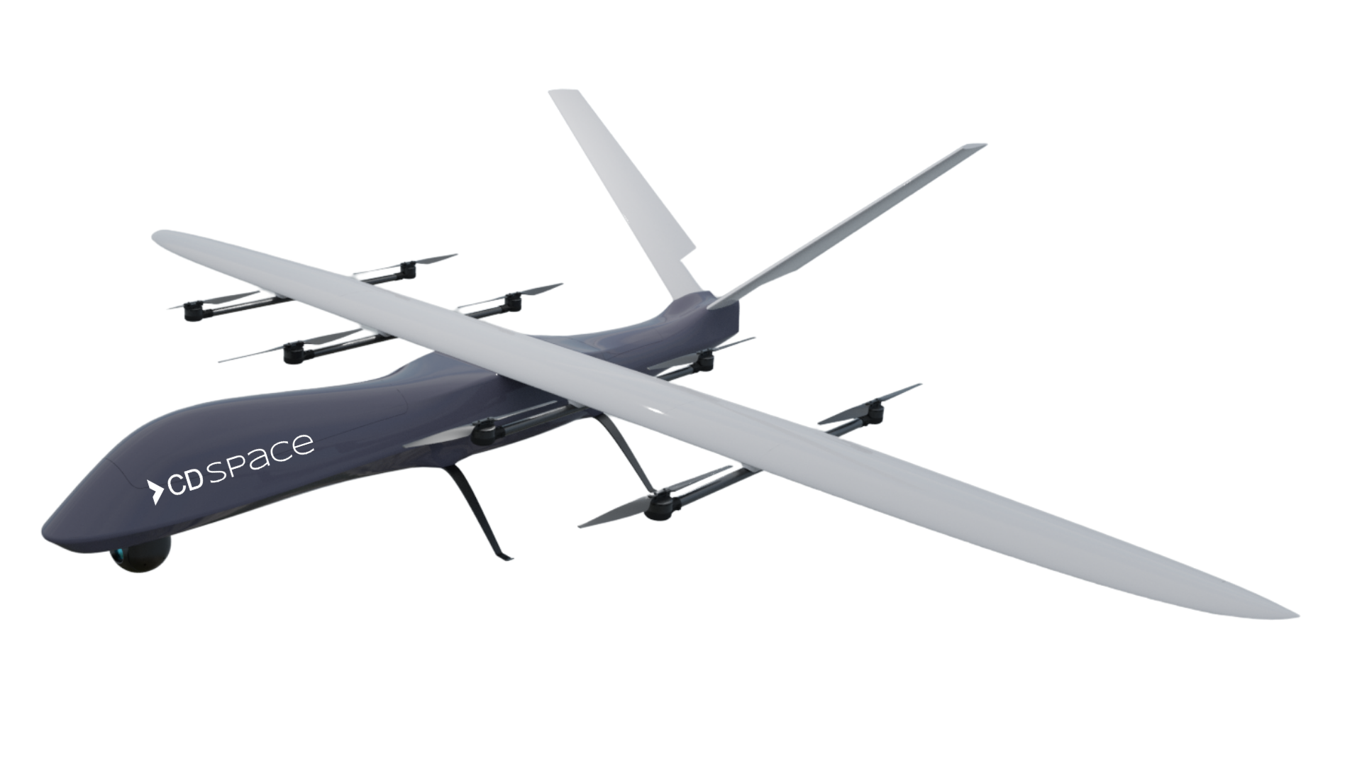
SPOT V3
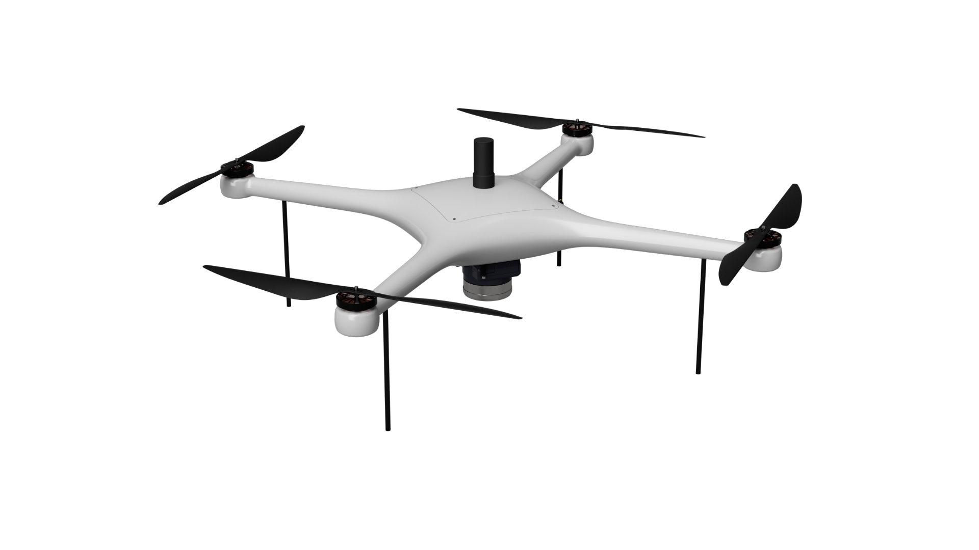
SNAP-M
SNAP Series · Multirotor
Survey Grade
PPK Drone Platform
DGCA Type Certified · TC No. T01230000008
Endurance50 min
MTOW2.7 kg
Wind Resistance< 9 m/s
Operational Altitude400 ft AGL
GNSSGPS / GLONASS / Galileo
PositioningRTK / PPK dual-frequency
C2 LinkAES 128-bit encrypted
Ground Sample Distance3 cm
Horizontal Accuracy< 10 cm
Vertical Accuracy< 20 cm
Coverage @ 120 m> 1.5 sq km
FailsafesRTH × 4 modes
Deployed Across
Mine Planning · Construction · Railway Inspection · Smart City Planning · Disaster Response · Terrain Mapping · Irrigation Survey · Forest Monitoring